Visualize Tomorrow.
Visualize Tomorrow.


Model your city's future with just a few clicks.
Model your city's future with just a few clicks.
Model your city's future with just a few clicks.
Join our Focus Group


Tax Revenue Forecasting
Tax Revenue Forecasting
Transform complex assessor data into accurate financial forecasts - no GIS expertise required.
Transform complex assessor data into accurate financial forecasts - no GIS expertise required.
Transform complex assessor data into accurate financial forecasts - no GIS expertise required.
Join our Focus Group
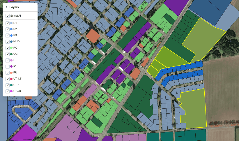
Interactive Mapping
Interactive Mapping
Interactive Mapping
Instantly visualize potential land use changes, turning abstract ideas into actionable insights.
Instantly visualize potential land use changes, turning abstract ideas into actionable insights.
Instantly visualize potential land use changes, turning abstract ideas into actionable insights.
Join our Focus Group


FAQ
FAQ
FAQ
What is GovGauge?
GovGauge simplifies public sector modeling with our all-in-one digital platform. We transform complex spatial data into instant, actionable insights, empowering public entities to visualize and plan their future.
Is it easy for users to learn?
Yes. GovGauge was designed with the user first. No special tricks are needed to interact with our tool.
Do I need to know GIS?
No. Simulate growth scenarios, optimize resource allocation, and make data-driven decisions in real-time without GIS. No more guessing games.
© GovGauge